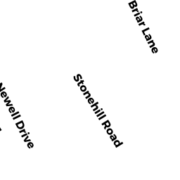
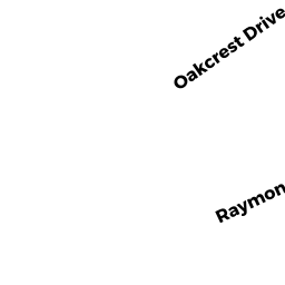
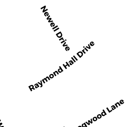
97 RAYMOND HALL DR
Owner Information
FOLEY BRIAN MATTHEW + KAYLEIGH ROSE
97 RAYMOND HALL DR
N ATTLEBORO, MA 02760


Property Details
97 RAYMOND HALL DR is classified as a Single Family Residential (Ranch).
The primary structure on this property was built in 1959. There are 2,697ft2 of built area within this property. There is 1,056ft2 of residential/living space within this property. This property is listed as having 5 rooms.
97 RAYMOND HALL DR is valued at $282,200. The land is valued at $126,800 and the structures are valued at $153,700. There is an additional valuation of $1,700 on this property.
The most recent deed for 97 RAYMOND HALL DR is recorded at the local registrar in Book 24834, Page 0293. 97 RAYMOND HALL DR was last sold on Friday, December 7, 2018 for $280,000.
Assessment data from fiscal year 2022.
Flood Data
This property is partially within the AE Zone (within floodplain). Approximately 0.0 acres (0.58%) of the property is within this zone.
This information is sourced from the FEMA National Flood Hazard Layer. See our full disclamer.
Broadband Internet Providers
| Provider | Type | Bandwidth (mbps) | |
|---|---|---|---|
| GCI Communication Corp. | Satellite | 0 | 0 |
| HughesNet | Satellite | 25 | 3 |
| VSAT Systems, LLC. | Satellite | 2 | 1 |
| Viasat Inc | Satellite | 100 | 3 |
| Verizon New England Inc. | DSL | 5 | 0 |
| Verizon New England Inc. | Fiber | 940 | 880 |
| Comcast | Cable | 1000 | 35 |
| T-Mobile | Fixed Wireless | 25 | 3 |
Broadband service provider data from December 2020.